Hotel Champlain Burlington, Curio Collection by Hilton
Burlington, near Waterfront Park
Steps from Waterfront Park and the bike path access; its listing includes free bicycle rentals.
Check ratesThe Island Line Trail runs 14.4 miles from the Burlington waterfront to South Hero, trading pavement for crushed gravel on the Colchester Causeway and crossing a lake gap by seasonal bike ferry. Here is how to plan the ride.
Short answer
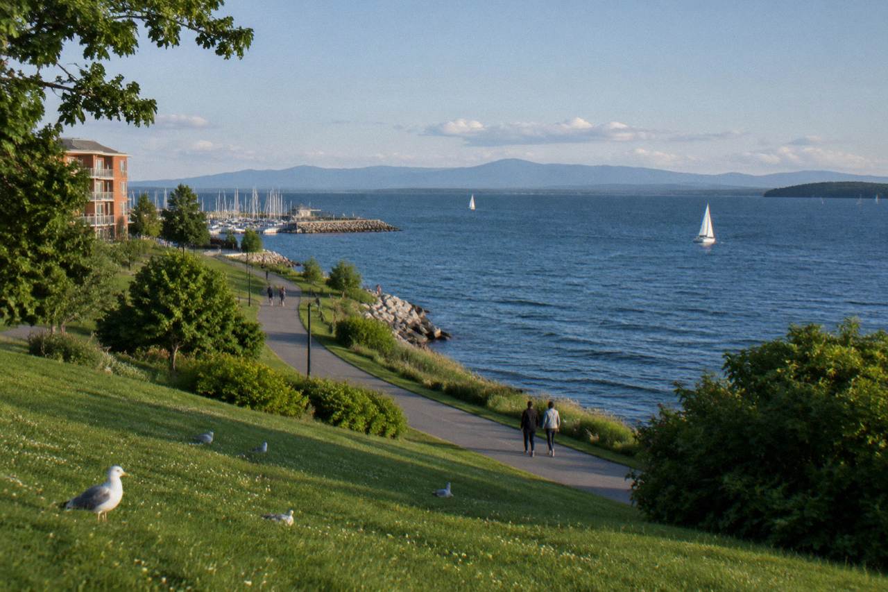
The Island Line Trail is about 14.4 miles one way from Burlington to South Hero: roughly 8 miles paved Burlington Greenway, then about 5 miles of crushed gravel on the Colchester Causeway. The Local Motion bike ferry crosses the lake gap from late May to mid October. Rent from Local Motion's Trailside Center at 1 Steele Street.
Few rides in New England pack as much variety into 14 miles as the Island Line Trail. The route leaves downtown Burlington on paved waterfront path, threads through Colchester on a quiet rail bed, then jumps onto a causeway of crushed gravel that runs straight down the middle of Lake Champlain with water on both sides. At the gap where the causeway was cut for the ferry channel, a seasonal bike ferry, a small pontoon boat, carries riders the rest of the way to South Hero. This guide covers the full route, the surfaces, the ferry season, rentals, and where to stay. Before you commit to the full route, our guide to how bike friendly Burlington really is for visitors covers rentals, e-bike rules, and the spots where riders should stay alert.
The Island Line Trail runs about 14.4 miles one way from the Burlington waterfront to South Hero, according to trail pages and rider guides that track the route. The paved Burlington Greenway segment covers roughly 8 miles, and the Colchester Causeway adds about 5 miles of compacted crushed gravel over open water. Riding it end to end and back makes a full day of nearly double that distance for most cyclists.
The distance is short by rail trail standards, and that is part of the appeal. Riders who want a relaxed morning can ride the paved Greenway and turn around anywhere; riders who want the signature experience push on to the causeway, where the surface changes and the scenery opens up completely. The trail is flat nearly the whole way, a legacy of its rail bed origin, so the miles come easy even for casual bikers and families with kids on tow-behind trailers.
Because the trail is an out-and-back for most people, plan water and snacks for the far end. South Hero has food options near the landing, but on a hot summer weekend the causeway itself offers no shade, no water, and no services. Wind across the lake can also make the return leg feel harder than the ride out, especially in the afternoon.
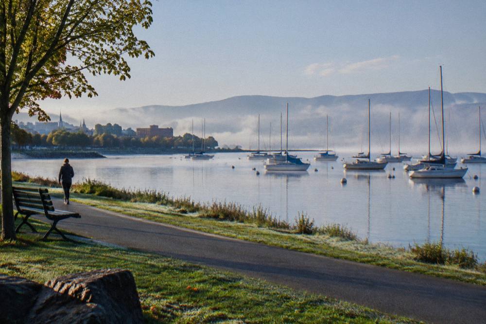
The trail breaks into three distinct sections: the Burlington Greenway, about 8 miles of paved waterfront path from downtown through the North End; the Colchester Causeway, about 5 miles of crushed gravel riding on a rail causeway through the lake; and the gap crossing at the ferry cut, where the Local Motion bike ferry connects causeway riders to South Hero. Each segment rides differently and suits different bikes. Since those differences make bike choice matter, a good first stop is our guide to renting bikes near the Burlington Bike Path, which covers shops, e-bike rules, and booking tips.
The Greenway is the easiest portion by far. It is wide, paved, and well marked, running past parks, beaches, and the Burlington bike path network that links downtown hotels to the trailhead. Commuters, joggers, and rollerbladers share it, so speeds stay modest. The further detail on this section is covered in the companion page on the Burlington bike path and Greenway.
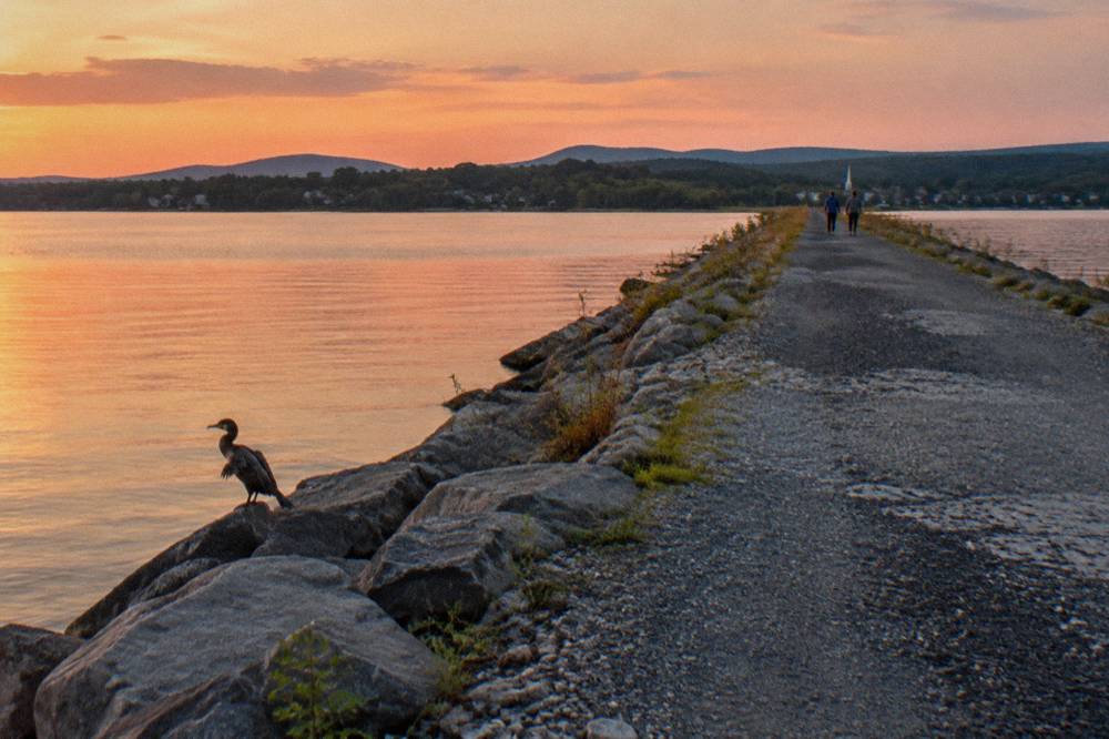
Colchester swaps pavement for gravel. The causeway surface is firm, compacted crushed stone that most bikes handle fine, but skinny road tires at high pressure can feel sketchy, and rental cruisers with wider tires roll it comfortably. There is no motor traffic out here, just walkers, anglers, and birds. The middle of the lake feels improbably remote for a ride that started in a small city.
| Segment | Distance | Surface | Character |
|---|---|---|---|
| Burlington Greenway | About 8 miles | Paved | Waterfront parks, beaches, shared-use path |
| Colchester Causeway | About 5 miles | Compacted crushed gravel | Open water both sides, no motor traffic |
| Ferry gap crossing | Short boat ride | Water | Seasonal pontoon ferry at the channel cut |
| South Hero landing | Arrival point | Gravel and road | Island roads continue toward farm stands |
The Local Motion bike ferry crosses the channel gap from late May to mid October, and it is closed for the remainder of the current season, with service returning in May per the operator's page. The crossing is donation based, with a suggested donation of about five dollars one way. Outside the ferry season, the causeway is a strict out-and-back because the gap cannot be crossed on a bike.
The ferry exists because the causeway was cut to keep a navigation channel open, leaving a break of open water between the end of the Colchester section and South Hero. In season, a small pontoon boat shuttles bikes and riders across on a schedule that shifts through the summer and fall, running more days in midsummer and dropping to weekends late in the season. Local Motion, the nonprofit that runs it, posts the operating calendar on its bike ferry page.
Two planning points matter. First, check the schedule before committing to a full crossing, because a missed last ferry means riding the whole causeway back the way you came. Second, the donation keeps the service running, so bring cash. The full ferry schedule questions, including seasonal hours, are covered in detail on the Lake Champlain bike ferry schedule page.
Almost any bike in good working order handles the Island Line Trail. The paved Greenway suits everything from road bikes to kids' balance bikes, while the crushed gravel of the Colchester Causeway rides best on wider tires rather than skinny racing rubber. E-bikes are allowed on the trail where bicycles are allowed, with Class 1 pedal-assist models permitted, and throttle-driven e-motos are not.
Rental fleets in Burlington reflect this range. Local Motion's Trailside Center at 1 Steele Street, right on the path, rents conventional bikes, Class 1 pedal-assist e-bikes, adaptive cycles, and kids' options, and recommends reservations in peak season. Rental prices shift, so check the center's current rates on its rentals and trails page before you go. More rental options for the Burlington end of the trail are listed in the guide to where to rent bikes for the Burlington bike path.

Most riders start at the Burlington waterfront, where the Greenway begins near Waterfront Park and the bike path heads north through the lake-side parks. The trail is continuous and signed from there through the North End and into Colchester. Local Motion's Trailside Center at 1 Steele Street sits directly on the path and works as a practical start point, gear stop, and rental pickup in one.
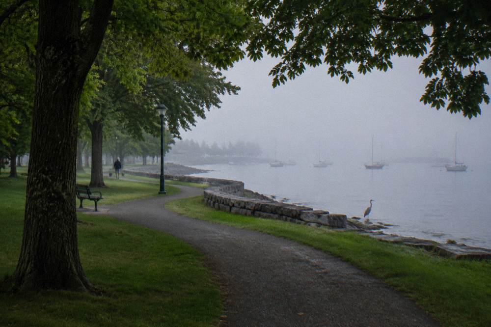
Parking downtown fills early on summer weekends, so many locals start further north along the path where street parking is easier, or arrive by bike from their lodging. Staying in the downtown core removes the parking question entirely. The Hotel Champlain Burlington, Curio Collection by Hilton sits steps from Waterfront Park with direct bike path access, and its listing includes free bicycle rentals, which covers riders who arrive without a bike at all.
Burlington, near Waterfront Park
Steps from Waterfront Park and the bike path access; its listing includes free bicycle rentals.
Check ratesFor riders who prefer the quieter end of downtown, Hotel Vermont sits about 0.2 miles from the Burlington Bike Path in the lake-side downtown, close enough to roll out of the lobby and be on the Greenway within a couple of minutes of easy riding. Both locations put breakfast, coffee, and the ferry schedule within a short spin.
The start point also shapes the day. Leaving from the waterfront at a relaxed pace, the paved miles to Colchester take under an hour for most riders, leaving plenty of time for the causeway and a food stop in South Hero before the return. Leaving later in the day means planning around both the ferry's final crossing and the afternoon wind that often picks up on the open sections.
The Colchester Causeway is flat but exposes riders to open lake conditions, which is where its real difficulty lives. The gravel surface is firm and rideable on standard tires, there is no motor traffic at all, and the grade is essentially level. Wind, sun exposure, and the absence of water or shade out on the lake are what catch unprepared riders, not climbing or technical riding.
On a calm morning the causeway is one of the most pleasant bike rides in the state, a straight ribbon of gravel with water on both sides and the Adirondacks on the western horizon. On a windy afternoon the same five miles can feel like double, with crosswinds pushing riders around and headwinds slowing the return leg. Riders report that conditions vary day to day, so checking the wind forecast is genuinely worth doing before the long crossing.
Bring more water than seems necessary, sun protection even on cool days, and a spare tube if you are on narrow tires. The gravel is well maintained but a chip or washboard patch can appear after weather. Riders who want a fuller picture of the islands beyond the causeway landing can continue into the Champlain Islands backroads, covered in the Colchester Causeway and Champlain Islands ride guide.
| Riding condition | What to expect | Good preparation |
|---|---|---|
| Calm day, morning | Smooth gravel, mirror-flat lake, easy pace | Sunscreen, camera, normal water load |
| Windy afternoon | Crosswinds on the causeway, slower return leg | Extra time, snacks, low gears |
| Hot summer day | No shade or water for the causeway miles | Two bottles, hat, midday caution |
| Shoulder season | Fewer crowds, cooler air, shorter daylight | Layers, lights, checked ferry schedule |
Yes, the Island Line Trail is one of the most beginner-friendly bike rides in Vermont. The Greenway portion is paved, flat, and separated from traffic for its whole length, and the causeway continues traffic-free on firm gravel. Families commonly ride the paved section and turn around before the gravel, while the ferry crossing itself is a highlight that kids remember long after the miles fade.
The main judgment call is distance. The full out-and-back to South Hero and back to downtown Burlington runs close to twice the one-way length, which is a real day for a child on a single-speed cruiser. A shorter plan rides the Greenway to its northern end, samples a stretch of causeway gravel, and returns, keeping the day comfortably below the full distance with a swim or ice cream stop built in.
Adaptive cyclists are well served here too. Local Motion rents adaptive cycles at the Trailside Center, and the paved Greenway is a wide, level shared-use path that works for hand cycles and trikes. The gravel causeway is rideable for many adaptive setups but worth testing gradually, since the surface, while firm, is still loose stone over a berm with water close on both sides.
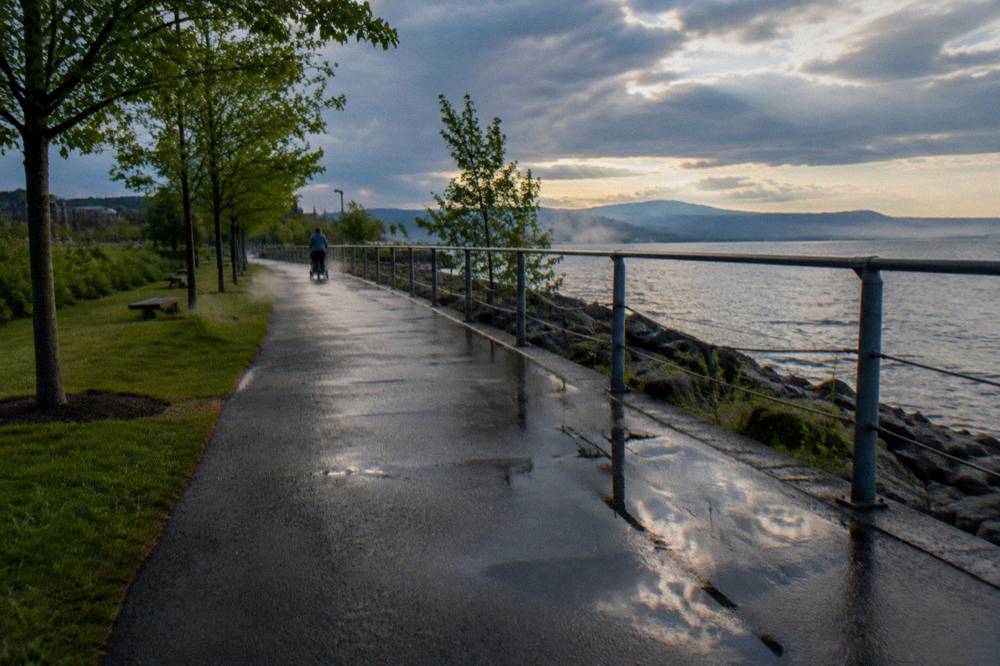
The riding season on the Island Line Trail runs from snowmelt to snowfall, but the full experience, causeway plus ferry, only exists from late May to mid October when the Local Motion ferry operates. Midweek summer mornings offer calm water and thin crowds. Fall brings foliage color from late September to mid October, with ridgelines turning earlier and valley color later, plus cooler air and the ferry still running.
Summer weekends are the busiest stretch, especially on the paved Greenway near the beaches, where path traffic mixes joggers, strollers, and rental bikes. Riders who want the causeway closer to themselves go early, before the beach crowd builds, or aim for a weekday. Early to mid October deserves special mention: the lake is still warm enough to keep mornings mild, the foliage on both shorelines peaks, and the ferry typically runs into mid October before closing for the winter. The broader timing picture, including month-by-month tradeoffs, is in the best time to bike in Vermont guide.
Outside the ferry season the causeway remains rideable to the gap as an out-and-back, weather permitting, and winter opens a different activity entirely, with fat bikers and anglers using the frozen-adjacent sections. Check trail status before a long ride in any season, since lake-level weather and maintenance work can change conditions quickly.
| Season | Trail character | Ferry | Notes for riders |
|---|---|---|---|
| Late spring | Clear path, cool air | Running from late May | Water still cold, fewer bugs on the causeway |
| Summer | Full sun, busy Greenway | Running daily to weekends | Go early, bring extra water |
| Fall | Foliage color, cool mornings | Through mid October | Peak color late September to mid October |
| Winter | Snow and ice cover | Closed | Fat biking locally, causeway conditions vary |
Burlington is the practical base, and the closer to the waterfront, the better the ride access. Downtown Burlington hotels put you within a short walk or roll of the Greenway start, while staying out in Colchester or the islands trades walkability for a quieter start nearer the causeway. Riders combining the Island Line with other Vermont riding often split a trip between Burlington and a second base such as Stowe.
In Burlington itself, Hotel Vermont sits about 0.2 miles from the Burlington Bike Path, making the morning rollout about as short as it gets, and the lake-side downtown around it supplies post-ride food without moving the car. The waterfront cluster around Waterfront Park is the other obvious choice, with direct path access and the rental fleet at the Trailside Center a few pedal strokes away.
Riders planning a longer Vermont bike trip can pair the Island Line with a Stowe stay. The Sun & Ski Inn And Suites in Stowe sits right by the Stowe Recreation Path and the road loops around the village, a completely different flavor of riding from the lakeshore. Splitting the trip this way covers both the flat waterfront miles and the Lamoille County terrain described in the Stowe Recreation Path and Lamoille County biking guide.
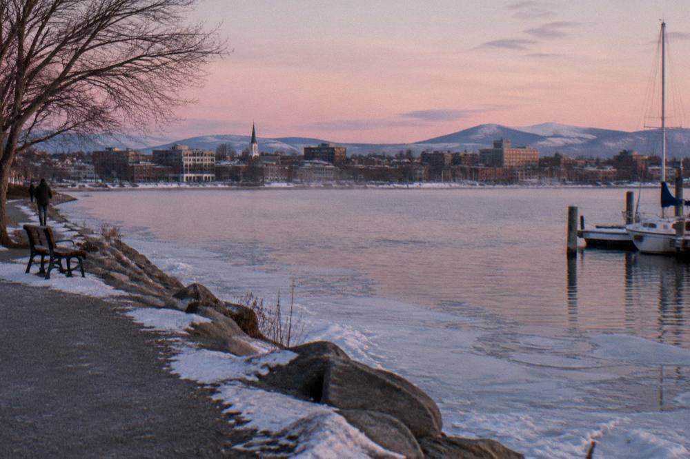
Burlington, 0.2 miles from the Burlington Bike Path
About 0.2 miles from the Burlington Bike Path in the lake-side downtown.
Check ratesThe Island Line is shorter and more singular than Vermont's long-distance rail trails. The Lamoille Valley Rail Trail runs about 95 miles from St. Johnsbury to Swanton and is the longest rail trail in New England, a multi-day undertaking on firm compacted stone. The Island Line's 14.4 miles trade distance for drama: pavement, then a lake causeway, then a ferry crossing, an experience no other Vermont trail matches. If that causeway section has you curious about pacing, our guide to biking the Colchester Causeway round trip covers surface conditions, the ferry gap, and where to start.
For riders choosing between them, the decision is time and appetite. A rider with one free morning rides the Island Line and gets the full arc, city to open water, in a few hours. A rider with two or three days rides the LVRT, whose surface details and town-to-town logistics are covered in the Lamoille Valley Rail Trail biking guide, and whose rules, including where e-bikes are allowed, are published by the state at its official rail trails page.
| Trail | Length | Surface | Standout feature |
|---|---|---|---|
| Island Line Trail | About 14.4 miles | Paved plus crushed gravel | Lake causeway and seasonal bike ferry |
| Lamoille Valley Rail Trail | About 95 miles | Compacted crushed stone | Longest rail trail in New England, 18 towns |
| Missisquoi Valley Rail Trail | About 26.4 miles | Compacted stone | St. Albans to Richford, joins the LVRT near Sheldon |
The Island Line also connects, sort of, to the bigger picture: its northern island roads link toward the Missisquoi Valley Rail Trail country for riders who want to keep going past South Hero. That extension turns a half-day ride into a full island tour, though it adds road riding with traffic, so it suits confident cyclists rather than families with young kids. However you cut it, Vermont Biking Tours treats the Island Line as the single best introduction to riding in the state: short, flat, varied, and finishable before lunch.
about 14.4 miles one way from the Burlington waterfront to South Hero: roughly 8 miles paved Burlington Greenway and about 5 miles of crushed gravel on the Colchester Causeway.
The Local Motion bike ferry operates from late May to mid October. It is donation based, with a suggested donation of about five dollars one way, and it is closed outside that window, so the causeway becomes an out-and-back ride.
Compacted crushed gravel, firm and rideable on most tires. Wide tires are more comfortable, and very narrow high-pressure road tires can feel unstable on the loose patches.
Yes. Local Motion's Trailside Center at 1 Steele Street in Burlington sits directly on the path and rents conventional, Class 1 e-bike, adaptive, and kids bikes. Reservations are recommended in peak season, and prices should be checked with the center directly.
Class 1 pedal-assist e-bikes are permitted where bicycles are allowed on the Greenway and Island Line, per the city's path rules. Throttle-driven e-motos and motorcycles are not.
Yes. It is flat, mostly separated from traffic, and easily shortened. Many families ride the paved Greenway, sample part of the causeway, and turn around, keeping the day in a comfortable distance range.
Before you go, the pick for this guide:
Hotel Champlain Burlington, Curio Collection by Hilton
Steps from Waterfront Park and the bike path access; its listing includes free bicycle rentals.
Check rates →