What Is The Best Section Of The Lamoille Valley Rail Trail?
A section by section look at the Lamoille Valley Rail Trail, comparing scenery, town services and easy half day ride options to help riders pick the best piece for their trip.
What Is The Best Section Of The Lamoille Valley Rail Trail?
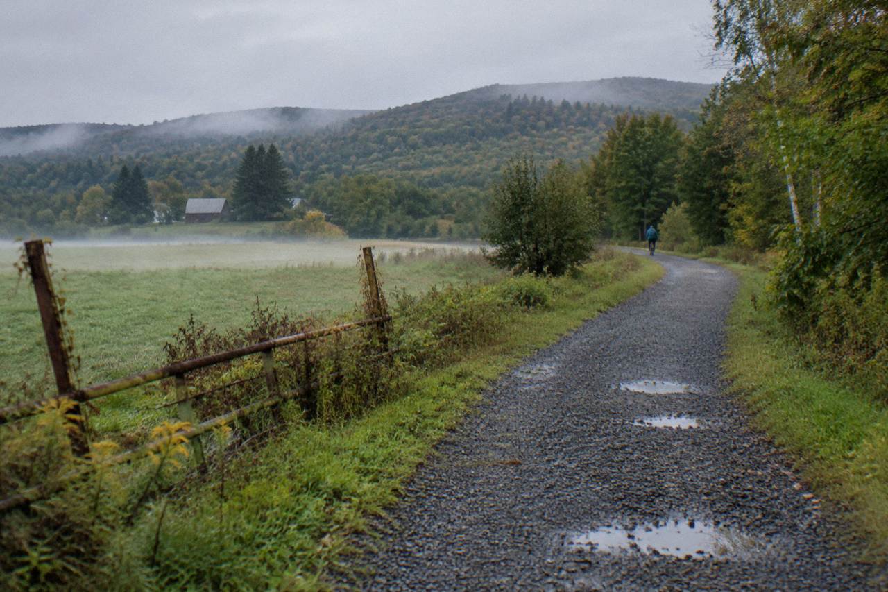
Vermont's Lamoille Valley Rail Trail covers 95 miles between St. Johnsbury and Swanton, passing through 18 towns along a corridor built on a former rail bed, and the state's own rail trail program describes it as the longest rail trail in New England. That scale is the trail's biggest asset and its biggest planning problem. A rider with one free morning cannot cover the whole thing, so the choice of section matters more than almost any other decision in the trip. This guide compares the trail piece by piece, weighing scenery against town services, and suggests half day rides that fit the way most people actually bike in Vermont. The full route comparison lives in our Lamoille Valley Rail Trail biking guide, which covers logistics end to end.
Top Section Recommendation
For most riders, the best section of the Lamoille Valley Rail Trail is the middle stretch through the Lamoille County towns between Hyde Park and Jeffersonville, covering the river valley riding around Morrisville, because it pairs working village services with the classic riverside scenery the trail is known for, all on the same wide, gentle grade. It also sits close to Stowe, giving riders a second destination without changing hotels.
That answer comes with a caveat worth stating plainly: the trail does not publish a section by section ranking, and no two riders weigh scenery and services the same way. What the sources do support is a comparison of what each stretch offers. The trail's surface is consistent almost everywhere, a ten foot wide ribbon of firmly compacted crushed stone with grass shoulders and grades under three percent, so the differentiator between sections is not difficulty. It is what sits beside the trail and what sits at each end of your ride.
The middle of the trail wins for most visitors because it balances the two. Villages sit close enough together that a lunch stop, a bike shop or a place to refill a bottle is never far, and the riding between them stays rural. The eastern end trades some of that convenience for a quieter, more forested feel. The western end, out toward Swanton, runs through flatter open farm country and links up with a second rail trail near Sheldon, which makes it the best pick for riders who want to string two corridors together.
What Makes A Rail Trail Section The Best One?
Three factors separate a great rail trail section from a mediocre one: the frequency of town services, the character of the scenery between those towns, and the quality of parking and access at each end. The Lamoille Valley Rail Trail scores well on all three across most of its length, which is why choosing a section is a genuine question rather than a matter of avoiding bad stretches. Riders should also weight surface condition and shade on hot days.
Start with services. A rail trail ride lives and dies by its endpoints. If you can park in one village, ride to another, eat lunch there and ride back, you have a perfect half day. If the nearest food is a twenty minute drive from the trailhead, the same corridor feels completely different. The LVRT's 18 towns are distributed along the route so that most riders can find a services pairing that works, but the pairings are tighter and more frequent in the middle counties than at either end.
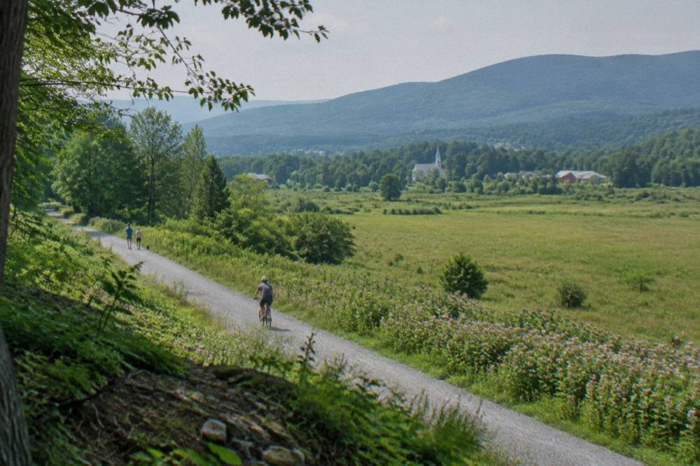
Scenery works differently. Rail trails follow rivers and old grades, so they rarely have the dramatic climbs of Vermont's road riding, but they make up for it with continuity: you ride beside the same water for miles, through farmland and forest that a car traveler never sees. The tradeoff is that some stretches of any long rail trail pass through purely functional corridor, and riders comparing sections should think in terms of proportion, how much of your ride is beside water and fields versus beside brush line.
Access is the quiet third factor. The state trail program publishes trailhead information and trip planning resources at railtrails.vermont.gov, and it is worth checking before you commit to a starting point, because trailhead work and seasonal maintenance can shift the best place to begin a ride. The trail's managers note that maintenance and occasional repairs happen across the season, and a short check of the official trail updates page saves a disappointing first mile.
Is The Eastern End Around St. Johnsbury Worth Riding?
Yes, the eastern end is worth riding, and for a specific type of rider it is the best section on the whole trail. Starting from St. Johnsbury puts you on the quietest, most forested portion of the corridor, with the fewest services per mile and the strongest sense of being out in the Vermont hills. Riders who want solitude and are self sufficient with food and water should start here.
St. Johnsbury itself is a real town with real amenities, which matters: you can start the ride fed, supplied and parked without a shuttle arrangement. From there the trail heads west into country that feels progressively quieter. Riders report long stretches where the loudest sound is the river, and the towns thin out compared with the middle of the route. That is either the appeal or the drawback, depending on what kind of cycling day you want.
The eastern section suits a couple of riding styles. Gravel and touring riders doing multi day trips often start at this end and ride west over several days, treating St. Johnsbury as the launch point. Day riders who value scenery over lunch stops can also do well here, riding out and back on an out and turnaround plan rather than a village to village loop. The consistent grade means the return leg never punishes you.
One practical note: cell coverage and bail out points are thinner here than in the middle counties, so carry more water than you think you need and let someone know the plan. The same advice applies to any long rural ride in Vermont, but it counts double on the eastern half of this trail. Riders who prefer a supported feel, with a bike shop and a bakery within reach at all times, should skip ahead to the middle sections.
The eastern end also sits within reach of the Northeast Kingdom's other big draw for cyclists. Kingdom Trails at East Burke, with more than 100 miles of singletrack and multi use trail, is a reasonable drive from the St. Johnsbury area, and the two make a natural pair for a long weekend: a day of rail trail cruising and a day of mountain biking. Our Kingdom Trails mountain biking guide covers that network in detail, and current passes and trail conditions are published at kingdomtrails.org.
Where Should You Stay To Ride The Best Sections?
The smartest lodging strategy for the LVRT is to base in the Northeast Kingdom near Lyndonville or St. Johnsbury for the eastern half, or in the Stowe area for the middle sections, because both put you within a short drive of a trailhead while giving you a second riding option on rest days. Riders combining the trail with Kingdom Trails should stay north, while riders pairing it with the Stowe Recreation Path should stay south and west. And if scenery is your top priority when choosing a base town, our guide to Vermont's most beautiful riding regions ranks the Stowe valley against the Northeast Kingdom and the Champlain shore.
For the eastern sections, The Wildflower Inn in Lyndonville is a strong fit: it sits 2.3 miles from Kingdom Trails and offers both bike rentals and a bicycle shuttle, which solves the two hardest logistics of a mixed rail trail and singletrack trip in one booking. Having a shuttle available means you can ride one direction on the trail or the mountain bike network without plotting a car shuffle.
For the middle sections, Stowe works well as a base even though it sits off the rail corridor itself, because the drive to the central trail towns is short and the riding options around the village are excellent in their own right. The Stowe area's cycling scene is covered in our Stowe Recreation Path and Lamoille County biking guide, which explains how riders split time between the paved village path and the rural roads around it.
The Wildflower Inn
Lyndonville, 2.3 miles to Kingdom Trails
Offers bike rentals and a bicycle shuttle, and sits 2.3 miles from Kingdom Trails.
Check ratesA note on the southern option: Stowe lodging pairs naturally with a middle of the trail riding day plus a morning on the recreation path, a combination that suits families and mixed ability groups especially well, since nobody in the group has to ride anything harder than a gentle crushed stone grade.
Whichever end you choose, book with the property directly through its own listing rather than through any third party reseller, and confirm bike storage when you do. Innkeepers across this part of Vermont are accustomed to cyclists and most can point you at the trailhead parking that suits your route.
How Does The Middle Of The Trail Compare Around Hyde Park?
The middle of the trail around Hyde Park and the neighboring Lamoille County villages is the most balanced section of the entire route: villages come at useful intervals, the river is never far from the tread, and the whole thing runs on the same sub three percent grade as everywhere else, so it works for every kind of bike and rider. For a first visit, this is where most riders should start.
Hyde Park makes a convenient anchor because it sits close to the trail's geographic midpoint, which means both directions are open to you. Ride east and the country gradually quietens toward the eastern forests. Ride west and you move through a chain of small villages where food, water and bike help are realistic expectations. That bidirectional choice is the section's practical superpower, and it is the reason local riders use this stretch for everything from quick fitness spins to relaxed family half days. The full index of guides sits on Vermont Biking Tours.
The area's usefulness does not depend on perfect conditions. The trailhead at Hyde Park has had occasional closures for maintenance work, with posted detours, and the trail's managers ask riders to check the official updates page before long rides. None of that changes the riding itself, it just changes where you park, and a two minute check the night before handles it.
What the middle section offers that the ends do not is redundancy. If the wind is wrong, you ride the other direction. If someone in the group runs out of steam, a village is close. If the day turns wet, the crushed stone surface drains well and the short distances between towns make an early lunch escape easy. Riders planning a first rail trail trip in Vermont, especially with kids or with e-bikes, will find this stretch forgiving in a way the lonelier eastern end is not.
Where Does The Trail Meet The Missisquoi Valley Rail Trail?
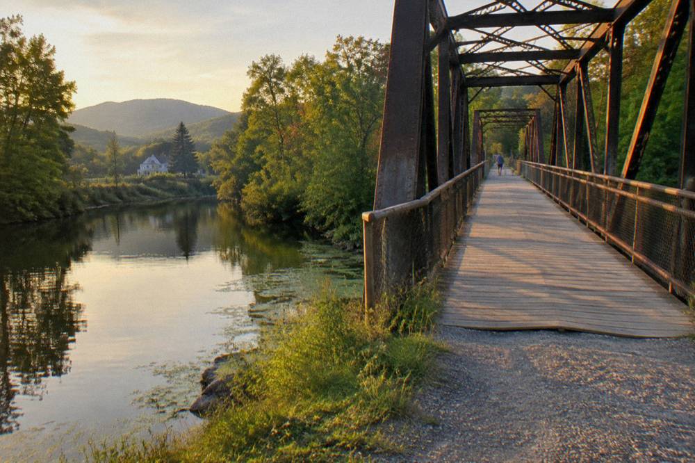
The Lamoille Valley Rail Trail connects with the Missisquoi Valley Rail Trail near Sheldon, in the northwestern quarter of the route, where a 26.4 mile second corridor runs north toward Richford with a southern end at St. Albans. For riders counting miles and variety, this junction near Sheldon is arguably the best section on the whole trail, because it turns one rail trail into a network.
The Missisquoi trail is a shorter, older sibling: 26.4 miles between St. Albans and Richford, threading through the farm country of the Champlain lowlands. Its character differs from the LVRT's river valley riding, with more open agricultural vistas and a flatter horizon. Because the two corridors meet near Sheldon, a touring rider can plan a trip that samples both in a single day of riding or link them across a multi day itinerary with an overnight in one of the junction area's small towns.
For day riders, the junction area rewards a specific plan: park near Sheldon, ride a section of each trail in an out and back format, and treat the junction itself as the turnaround landmark. You get two different trail personalities in a single ride without a shuttle. Riders on e-bikes can extend this considerably, since battery range turns a modest out and back into a genuine point to point day.
The Missisquoi trail has its own maintenance calendar, including resurfacing work, so the same check the LVRT requires applies to both corridors. The state rail trails page covers both trails' conditions in one place, which makes a double check painless. Riders who fall for this corner of the state often build a second trip around it, riding the LVRT west from the junction one day and the Missisquoi north the next.
Is The Swanton End The Flattest Riding On The Trail?
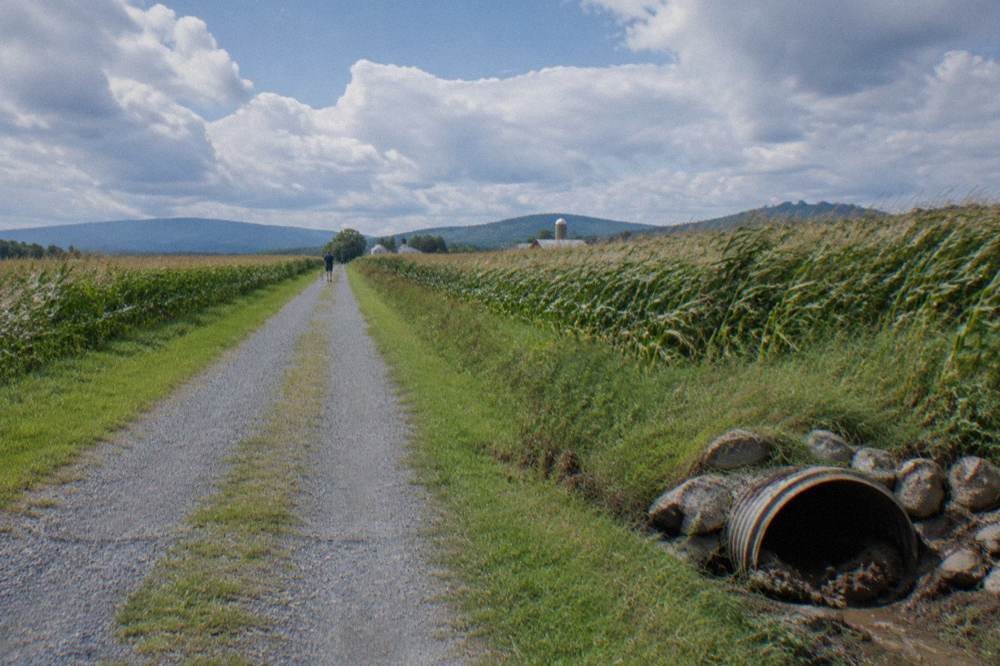
Yes, the western end around Swanton is the flattest riding on the LVRT, though the distinction matters less than riders expect, because the entire trail holds grades under three percent by design, a legacy of its rail bed origins. What the Swanton end really offers is open farm scenery, a genuine endpoint town with full services, and the shortest drive to Burlington and the Champlain waterfront for riders combining trips.
The whole point of a rail trail is that trains could not climb, so no section of the LVRT ever feels like a mountain stage. Still, the western quarter trend toward the lake is noticeably level, and the landscape opens up accordingly: long sightlines across fields, big skies, and less tree tunnel than the eastern forests. Riders who want to spin comfortably and look around, rather than grind, will feel the difference here.
Swanton as an endpoint has practical weight. It is the trail's northwestern terminus, a proper town where a finish line meal is easy to arrange, and it sits close enough to Burlington that a rider can plausibly do a morning on the rail trail and an afternoon on the lakefront path network. Burlington's own riding scene, including the waterfront greenway and the Island Line corridor, is covered in detail elsewhere on this site, and cyclists extending a Vermont trip that direction can base at Hotel Champlain Burlington, steps from Waterfront Park and the bike path access.
The western end is also the best section for riders chasing the Missisquoi junction without committing to the full ride west from the middle counties. Starting near Swanton or Sheldon and riding east as far as time allows samples the open country and, if planned right, the second trail as well.
What Is The Best Half Day Ride On The Trail?
For a first visit, the best half day ride on the LVRT is a village to village out and back in the middle counties: park in one town, pedal eight to fifteen miles east or west along the river corridor to the next village with services, stop for lunch, then return on the same gentle grade. This delivers the trail's core scenery in two to three hours of easy riding while keeping a bail out option within reach.
The exact towns matter less than the structure, and riders should pick their pair based on where they are staying. From a Lyndonville or St. Johnsbury base, an eastern pairing works. From a Stowe or Morrisville area base, a middle pairing is natural. From Burlington, the western end near Sheldon or Swanton is the shortest drive. Every version follows the same recipe, and the trail's consistent surface means none of them will surprise your legs.
| Ride style | Best section to use | Why it works | Plan around |
|---|---|---|---|
| First family ride | Middle counties, village to village | Services close, grade under three percent, easy turnarounds | Check trailhead status at Hyde Park before parking |
| Solitude and scenery | Eastern end from St. Johnsbury | Quietest, most forested stretch | Carry extra water, thinner services |
| Long touring day | Junction area near Sheldon | Links the Missisquoi Valley Rail Trail, two corridors in one ride | Check both trails' condition pages |
| Flat and open | Western end at Swanton | Flattest riding, open farmland, full town services at the finish | Closest drive to Burlington's lakefront paths |
| E-bike cruise | Any, favoring middle or west | E-bikes are allowed on the LVRT as a matter of policy | Confirm rental battery range for the return leg |
A few planning notes sharpen any of these. Ride in the morning: October light aside, Vermont's river valleys get muggy by afternoon in summer and the shade thins out on the western farm stretches. If you are riding in foliage season, plan the same ride for late September to mid October and expect the middle counties to be busy on weekends. And whatever the season, the grade will not hurt you, but the distance can: out and back means doubling whatever you ride out, and the mental math catches people at the turnaround.
Can You Ride An E-Bike On The Lamoille Valley Rail Trail?
Yes, e-bikes are allowed on the Lamoille Valley Rail Trail. The state's rail trail program states it plainly on the official trail page: e-bikes are permitted, while motorized uses such as ATVs, dirt bikes, motorized scooters and segways are not, and snowmobiles use the corridor only in the winter snowmobile season. That makes the LVRT one of the most e-bike friendly long trails in New England. That e-bike friendly character is one more reason the trail stands out, and if you want the full story of its record-setting length, our guide to the longest bike trail in Vermont covers every mile.
The policy detail matters for riders carrying throttle Class 2 or faster Class 3 machines, since access rules on Vermont's natural surface trails are far stricter. On state land, e-bikes are currently prohibited on non motorized natural surface singletrack, a policy the Vermont Mountain Bike Association tracks closely. None of that touches the rail trail, which is treated as a multi use corridor. Riders can find the full rules on the official page at railtrails.vermont.gov.
For choosing a section, e-bike riders get the simplest answer of anyone: pick based on scenery and services, not difficulty, because the battery erases even the modest grade differences between sections. That makes the middle counties and the western end especially attractive, since longer village to village links become realistic. A rider on a pedal assist bike can comfortably turn a half day plan into a point to point ride with a pickup at the far end.
Renters have options at both ends of the trip. In Burlington, Local Motion's Trailside Center at 1 Steele Street rents conventional, Class 1 e-bike, adaptive and kids bikes right on the path, with reservations recommended, and the nonprofit publishes its current lineup at localmotion.org. In the Northeast Kingdom, the shops around East Burke, including East Burke Sports and Kingdom Bike Rentals, serve the Burke area, though rental pricing should be confirmed with each shop directly.
When Is The Best Time Of Year To Ride The Best Sections?
The best time to ride the LVRT is late September to mid October for foliage, with the middle of the trail peaking in early October and the higher ridgelines turning one to two weeks ahead of the valley floor, or June through early fall for quiet, green riding with full services. Winter riding is possible but demands fat bike tires and warm gear, and mud season in early spring is the one window to avoid.
Foliage is the marquee draw, and the rail trail is a superb foliage venue precisely because it is not a car corridor: you get the river, the farms and the hillsides without the leaf peeper traffic that slows the famous road routes. The tradeoff is demand. Villages fill on foliage weekends, and riders visiting in the peak window should book lodging early and ride on weekday mornings if the schedule allows. Expect crisp air: October in this part of Vermont averages a high in the mid fifties and a low in the mid thirties, so layers and gloves matter more than they do in July.
The green season is the connoisseur's pick. From late spring through early fall the trail is quiet, the river is lively, and every town service runs at full hours. Blackfly season in late spring is a brief nuisance worth a repellant check, and summer afternoons can be warm on the unshaded western stretches, which is another argument for morning starts. Whenever you ride, check trail status before a long ride: maintenance and the occasional detour shift through the season, and the official updates page is the authoritative source.
Sun & Ski Inn And Suites
Stowe
A Stowe base for the Stowe Recreation Path and the road loops around the village.
Check ratesFor riders basing in the Stowe area to reach the middle sections, Sun & Ski Inn And Suites sits in the village with direct access to the Stowe Recreation Path and the road loops around town, which rounds out a trip that pairs a rail trail day with a second riding day closer to base.
Common Questions About The Best Lamoille Valley Rail Trail Section
What Is The Best Section Of The Lamoille Valley Rail Trail?
For most riders the middle stretch through the Lamoille County villages, reachable from Hyde Park and the surrounding towns, is the best section, because it balances riverside scenery with nearby village services on the trail's consistently gentle grade. Riders seeking solitude should choose the eastern end from St. Johnsbury, and riders wanting a second trail in one day should head for the Missisquoi junction near Sheldon.
How Long Is The Lamoille Valley Rail Trail?
The trail runs 95 miles from St. Johnsbury to Swanton through 18 towns, making it the longest rail trail in New England. Almost all riders sample it in sections rather than riding it end to end.
What Is The Trail Surface Like?
The tread is a ten foot wide bed of firmly compacted crushed stone with roughly two foot grass shoulders, held to grades under three percent. It suits hybrids, gravel bikes, mountain bikes and e-bikes; very narrow road tires are the only poor fit.
Are E-Bikes Allowed On The Lamoille Valley Rail Trail?
Yes. The official trail rules permit e-bikes and prohibit ATVs, dirt bikes, motorized scooters and segways, with snowmobiles using the corridor only during the winter snowmobile season.
Can You Ride The LVRT In Fall Foliage Season?
Yes, and it is one of the best ways to see the color without car traffic. Aim for late September to mid October, expect ridgelines to turn before the valleys, book lodging early and check trail status before a long ride.
Where Does The LVRT Connect To Another Rail Trail?
Near Sheldon, in the northwestern part of the route, the LVRT connects with the Missisquoi Valley Rail Trail, a 26.4 mile corridor running between St. Albans and Richford through open Champlain lowland farmland.